Saltery Bay to Dixon Road on the SCT
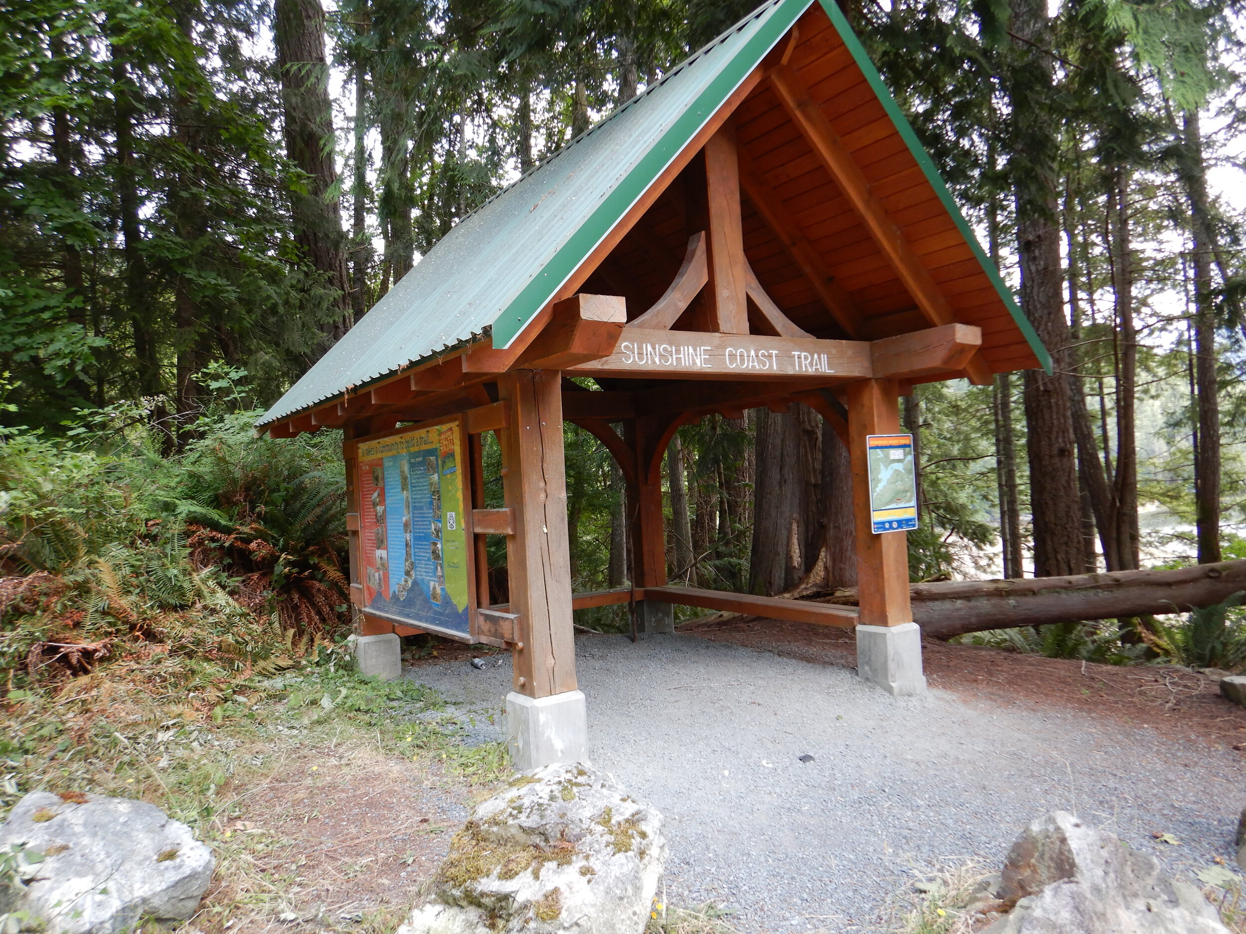
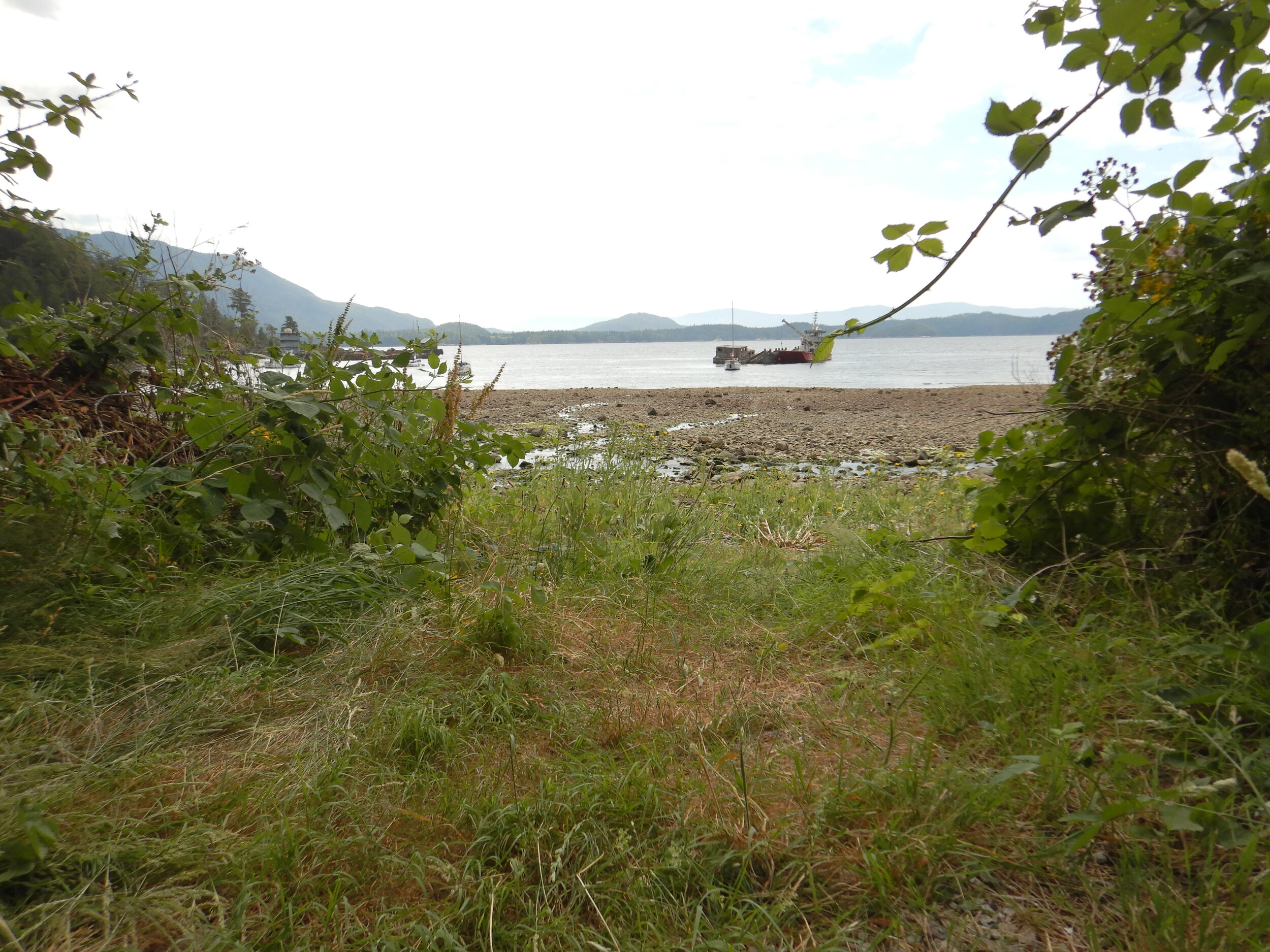
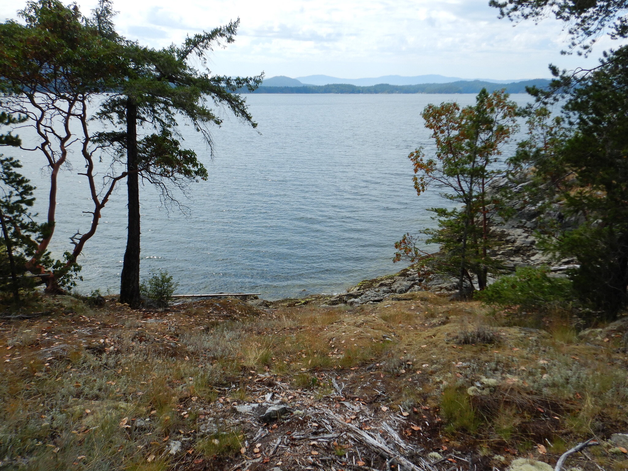
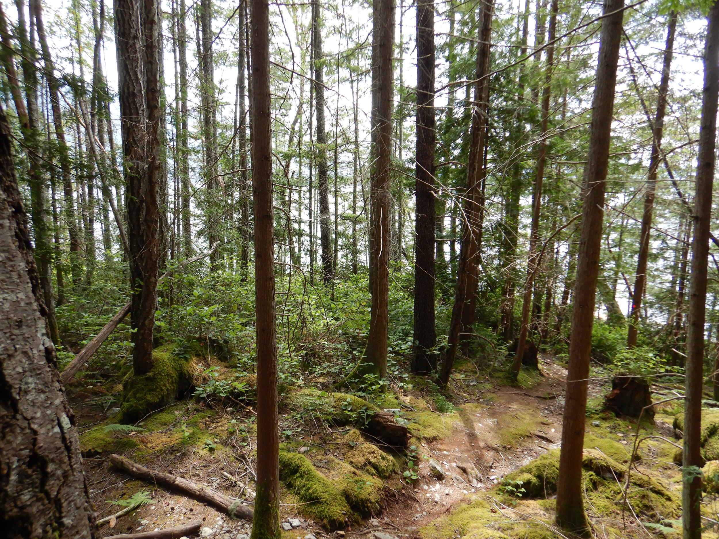
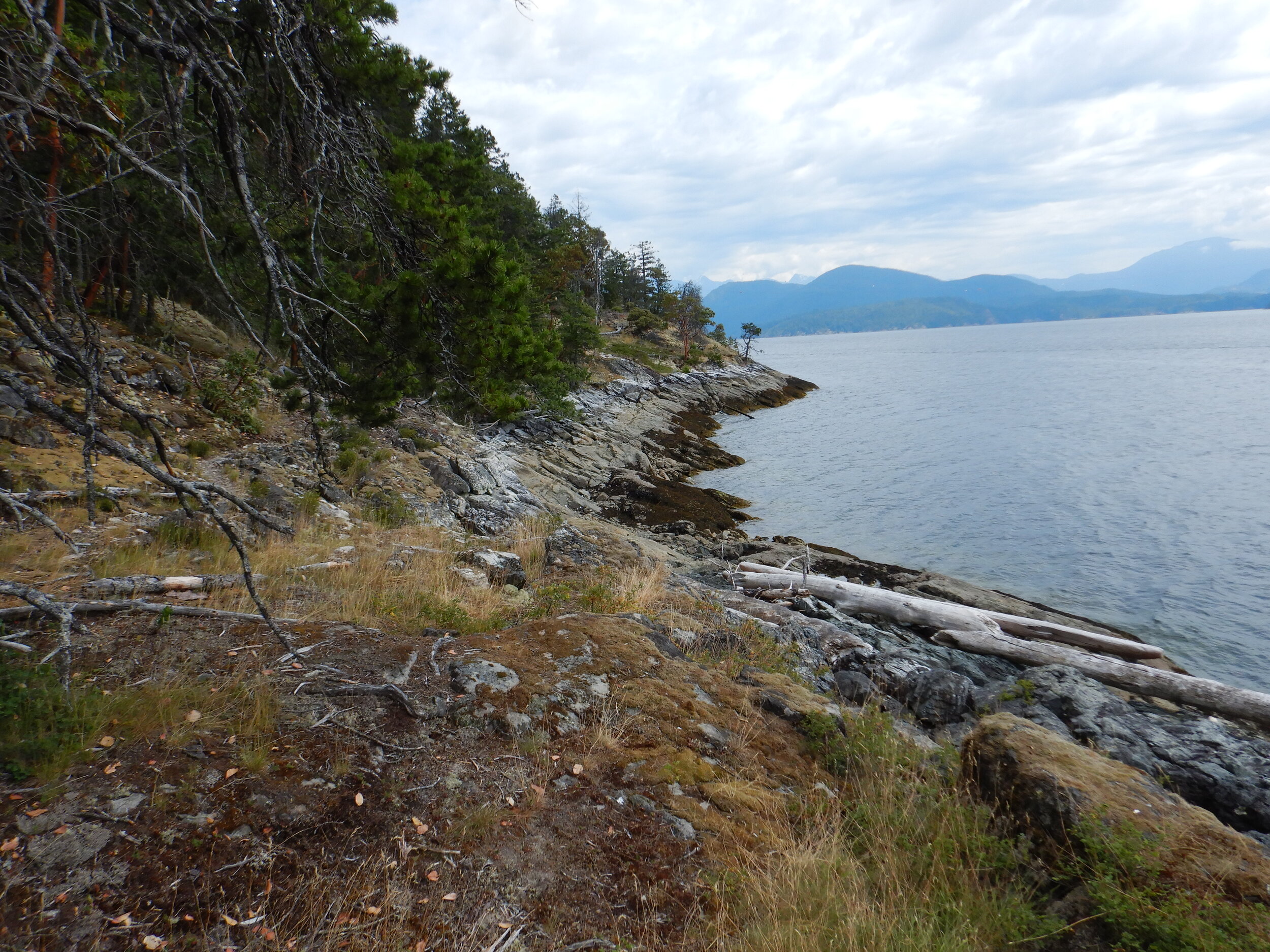
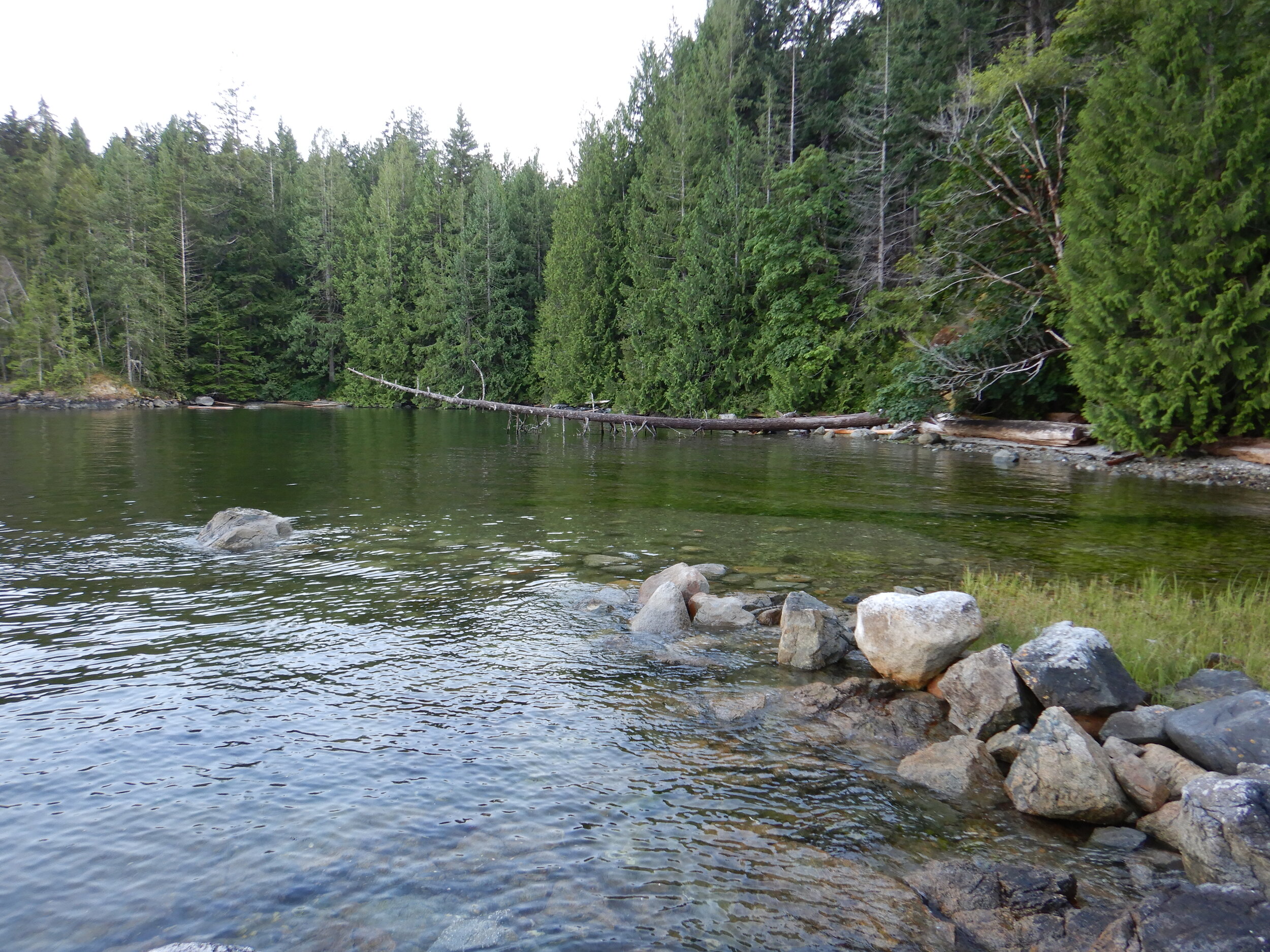
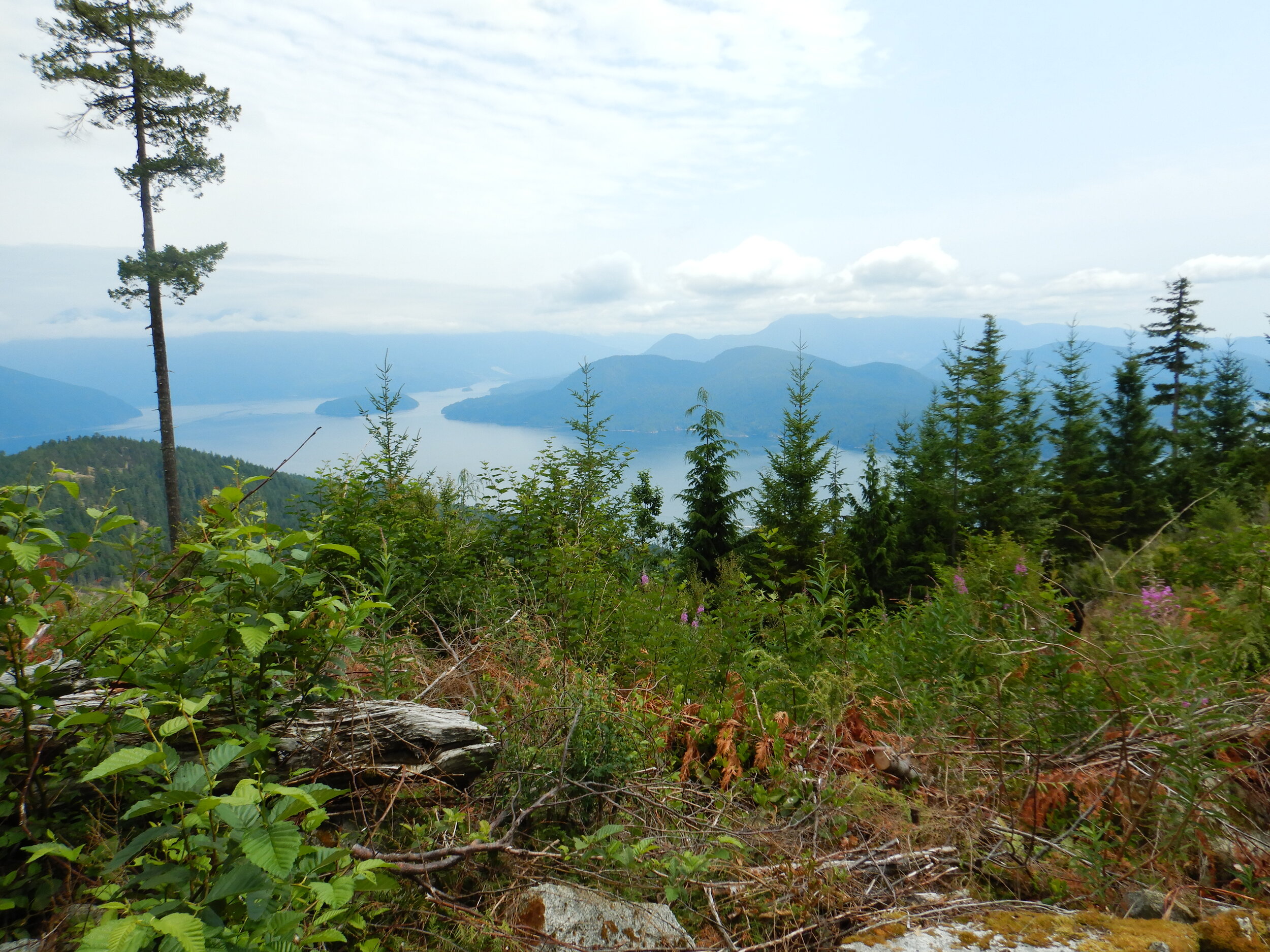
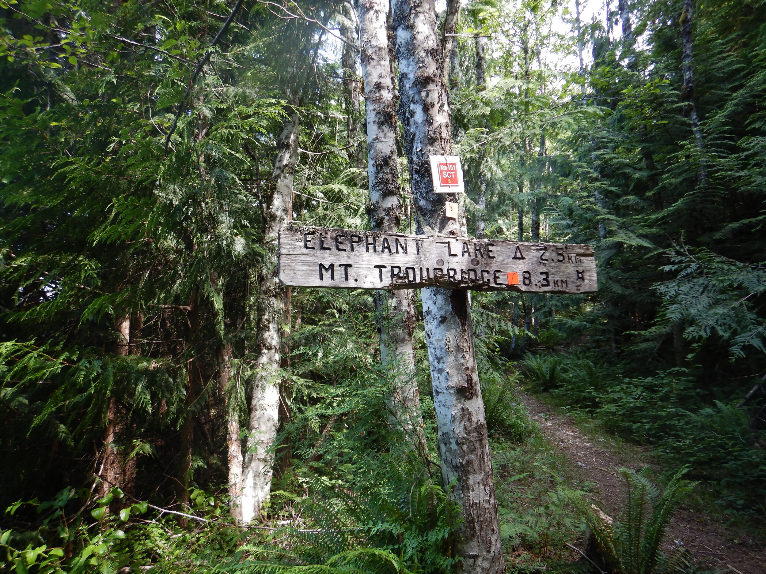
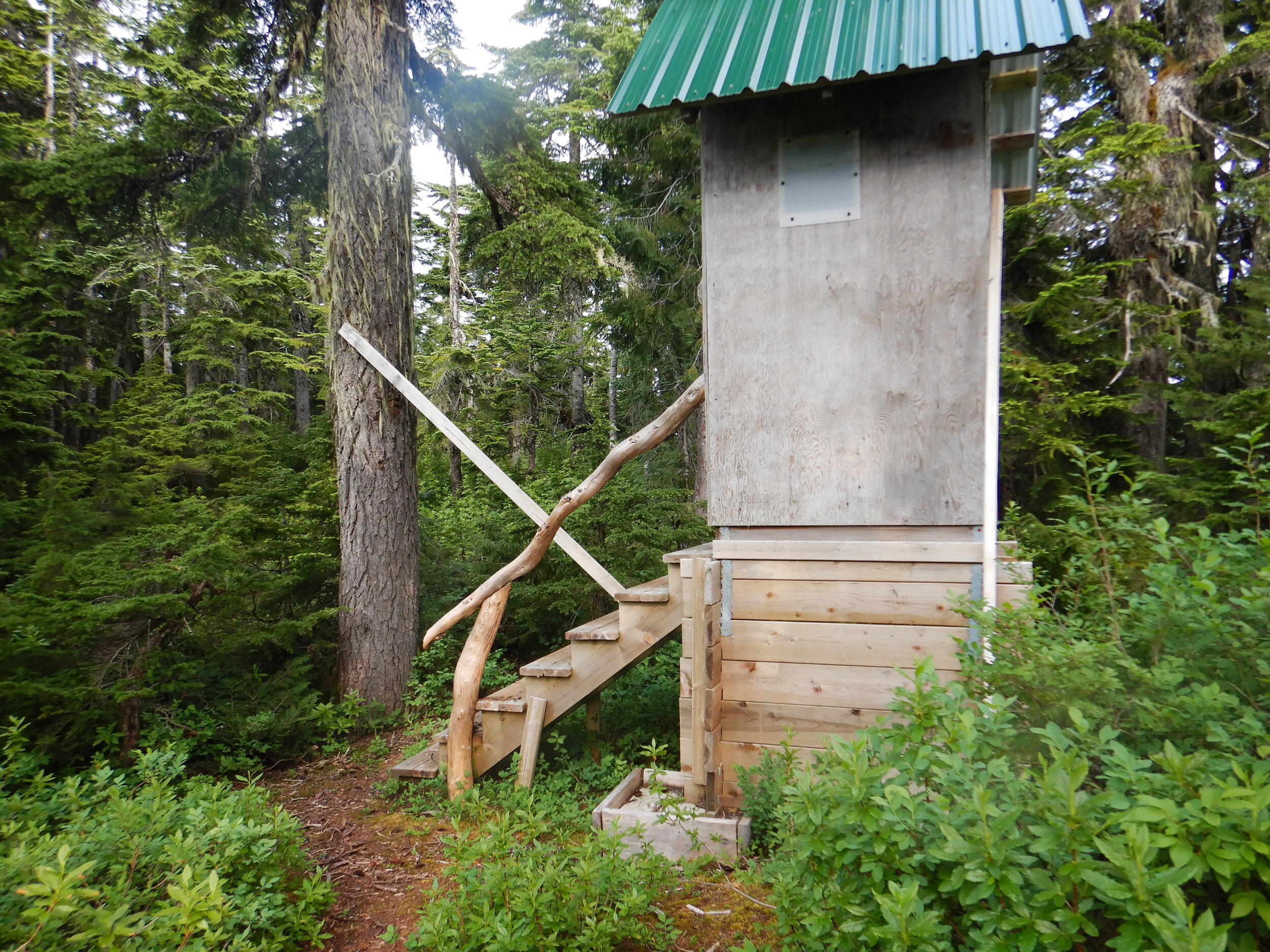
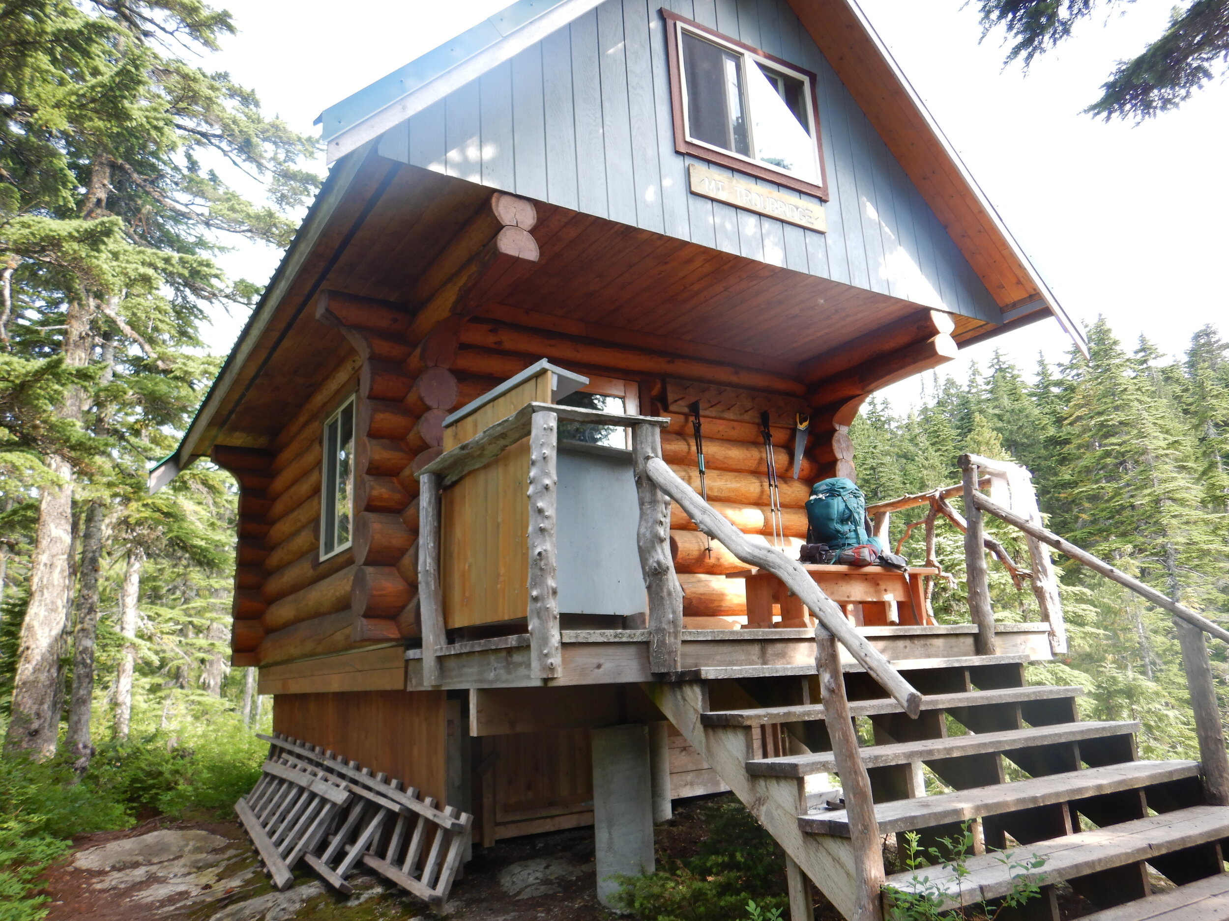
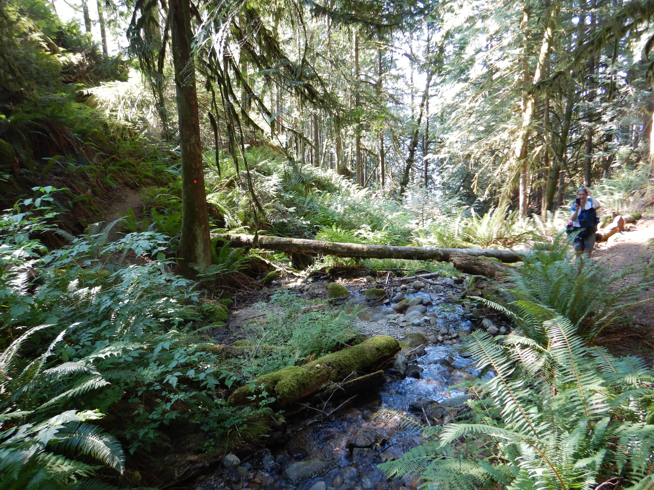
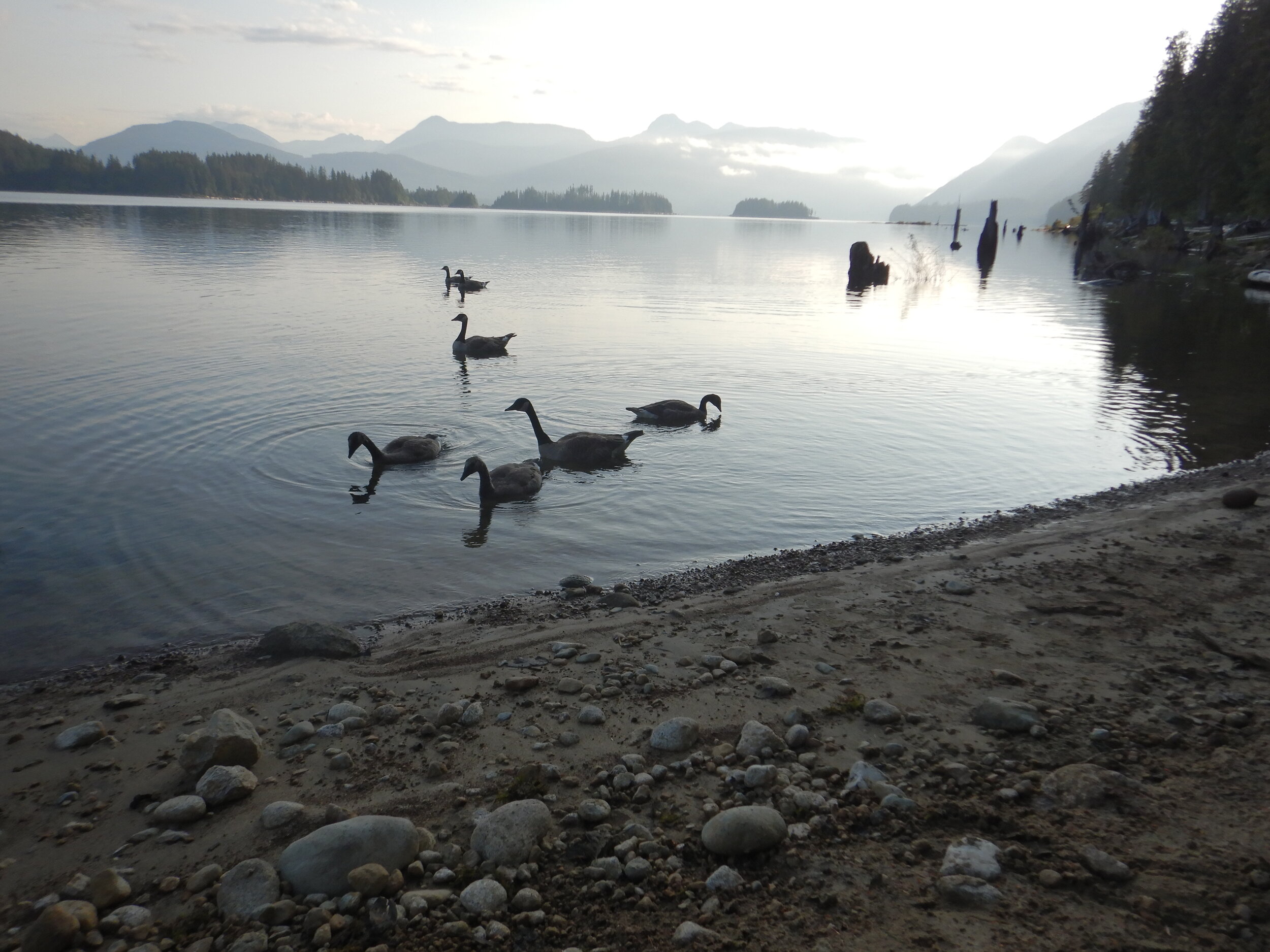
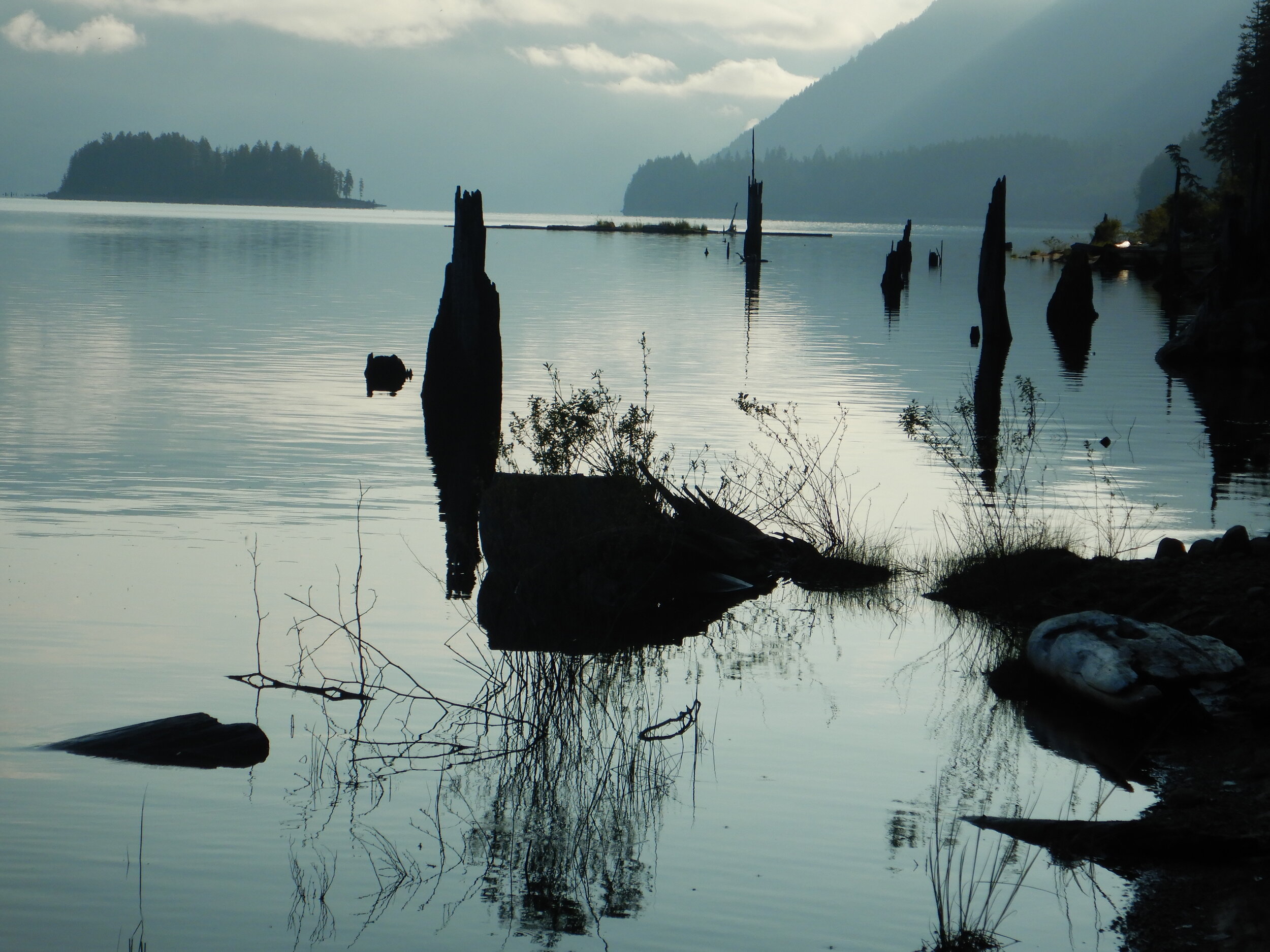
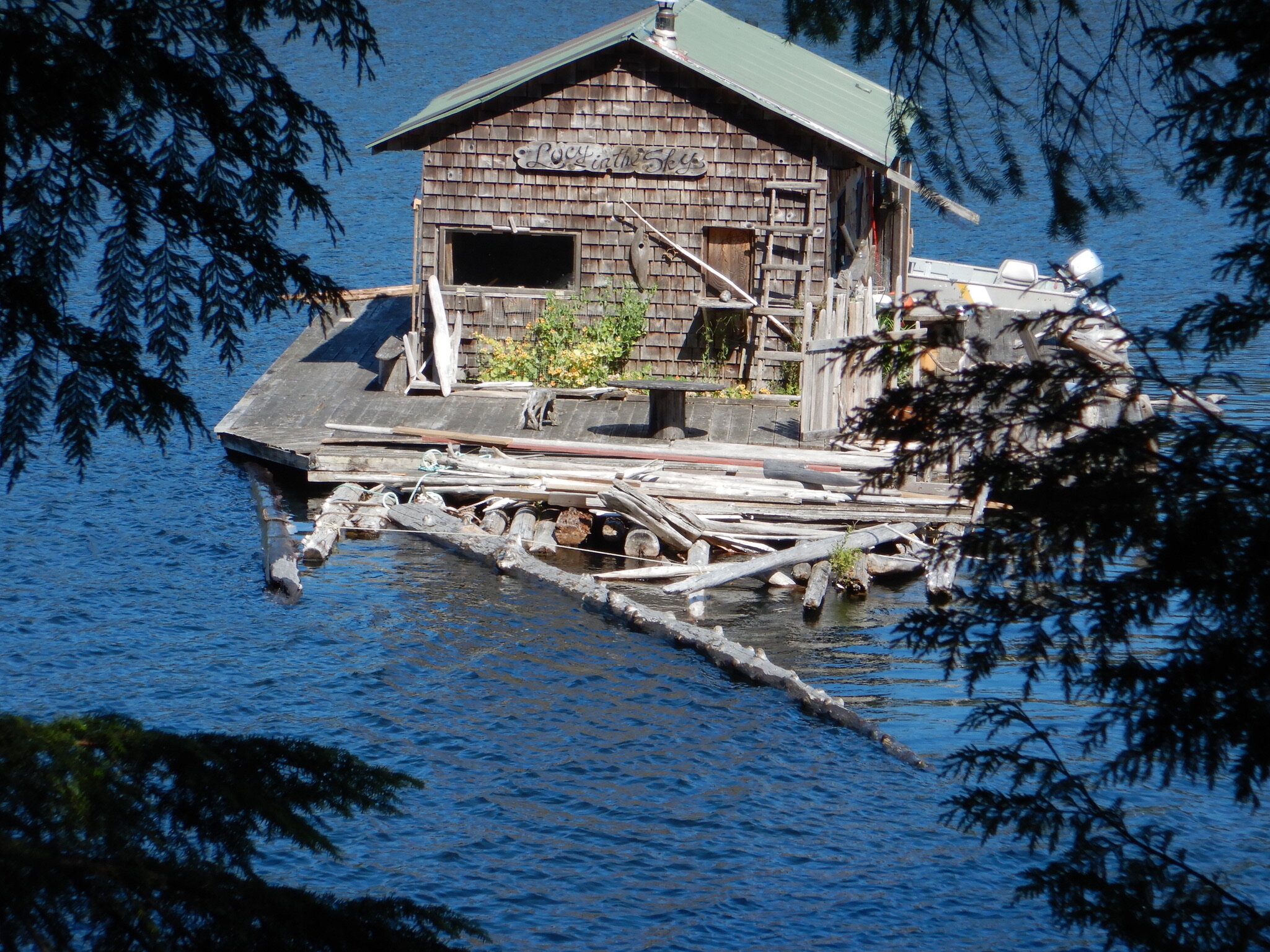
The Garmin route map can be found here. Four backpackers set off from Vancouver on Wedesday July 7th in time to catch the first ferry from Horseshoe Bay to Langdale. We then continued up the Sunshine Coast for the ferry to Saltery Bay. The weather was dry, bright and sunny for the whole time. We walked about 45kms, whatever the GPS plot says, camped out twice and stayed in a hut for one night for mozzie related reasons. Getting fresh water was a bit of a challenge on the second night, at Mount Troubridge. The original plan was a “reverse lollipop”, Saltery Bay, Fairview Bay, Mount Troubridge, the highest point of the trail, and back to Saltery Bay via Rainy Day Lake. The hike up to Troubridge and to the hut, 2kms on the other side of the summit was very challenging so we decided to head on north to Lois Point to camp over night in a big camp site right on the lake, we were the only four people there. We walked much further than we had planned but it all worked out for the best. This was a great hike with the world’s best “fluffing” outhouses. See the photos at the trip gallery and below.
