Mount Crumpit

Lunchtime view
Sheila writes:-
Eleven adventurous hikers set out early, but not too early, to explore Mt. Crumpit in the Crumpit Woods area in Squamish, my plan “B” hike. Before even setting foot on the trail Tamsin saw a black bear wandering the neighbourhood. From her account it sounded like a young one from last year and no sight of a mama bear. Louise wisely brought her bear spray along.
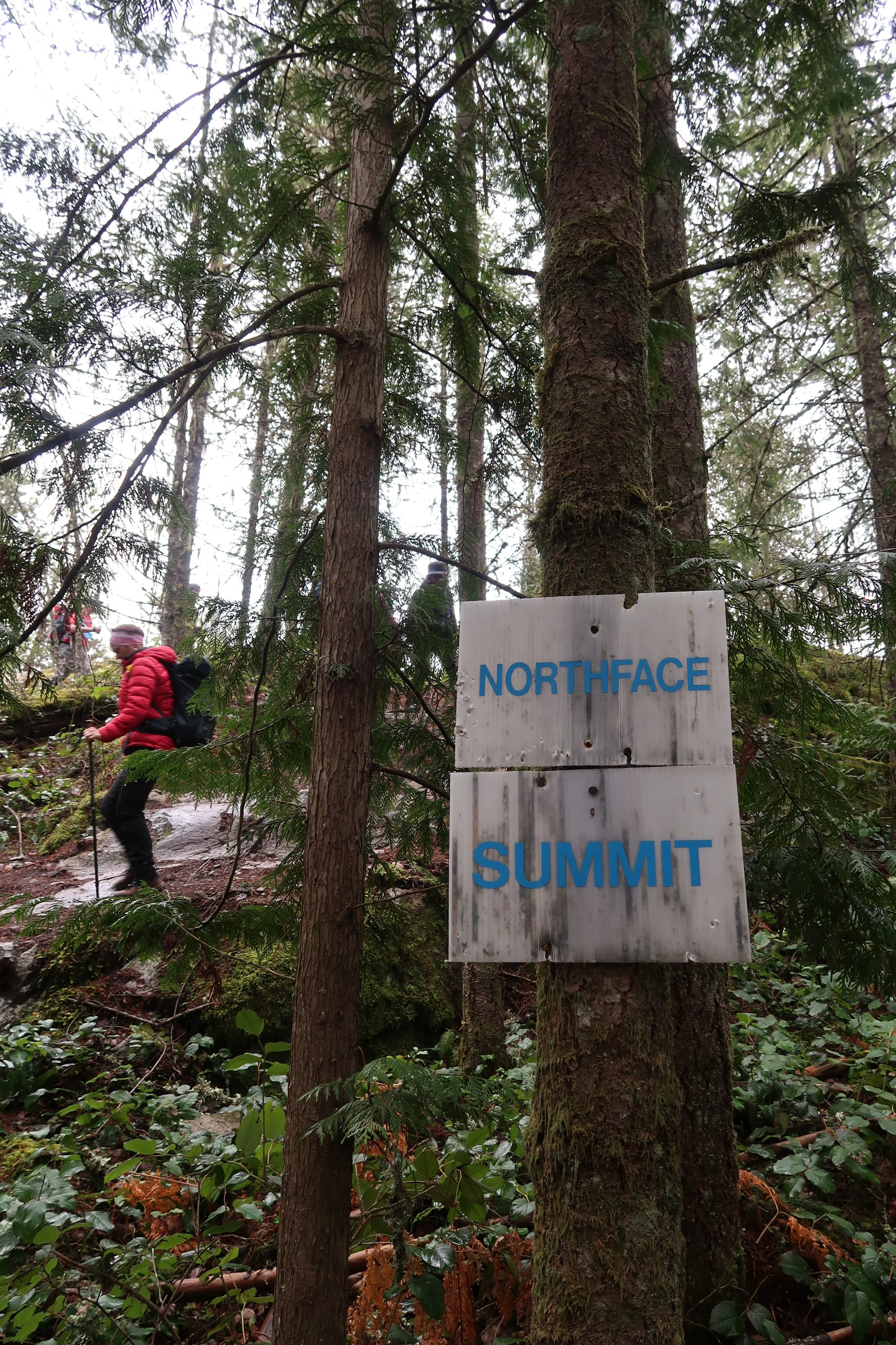
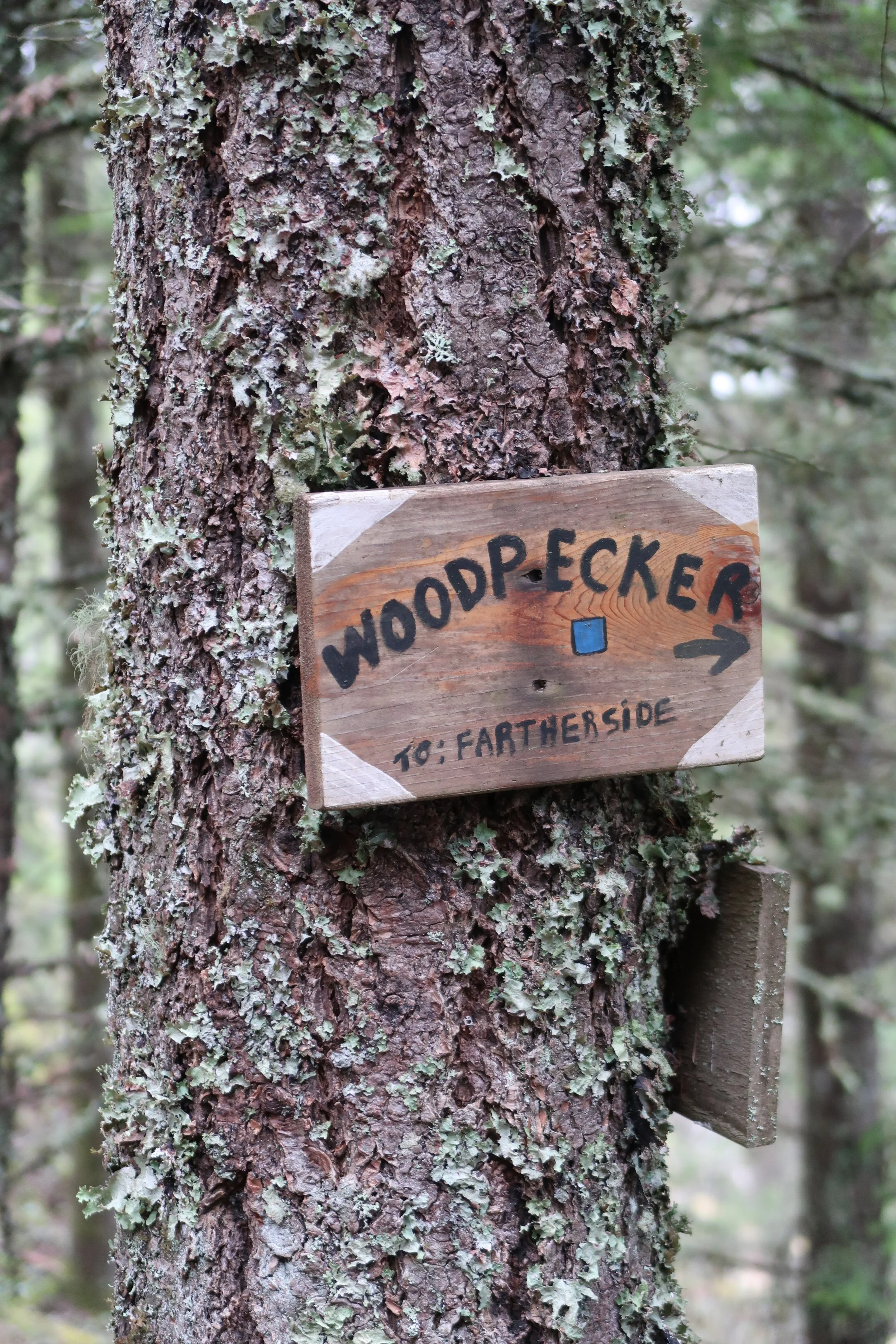
Armed with a GPS, All Trails app and maps we set out on our 4 hour journey to explore the maze of trails, both hiking and mountain biking. There were a lot of intersecting trails so maps were a must. We managed to stay on course for the most part.
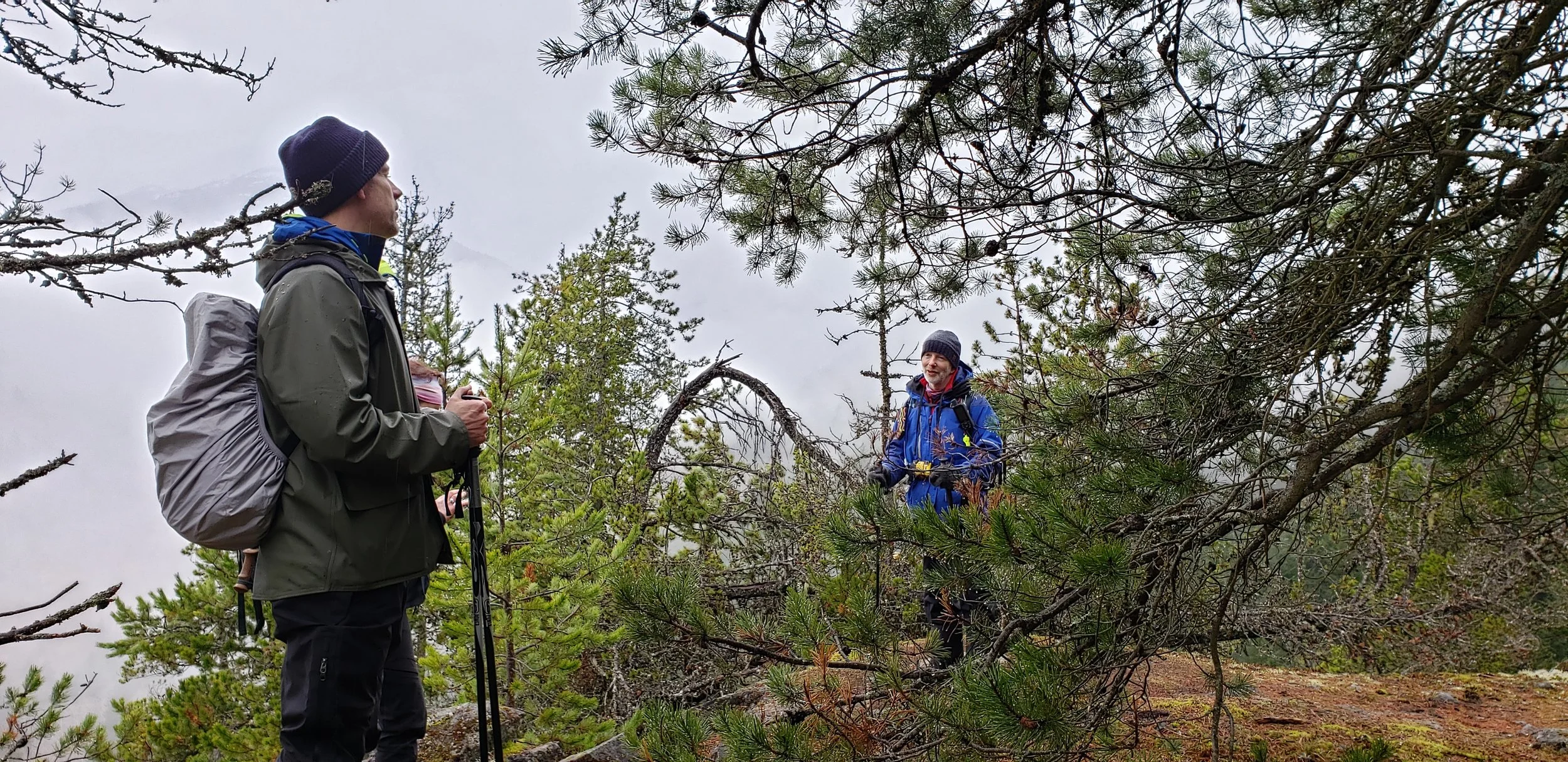
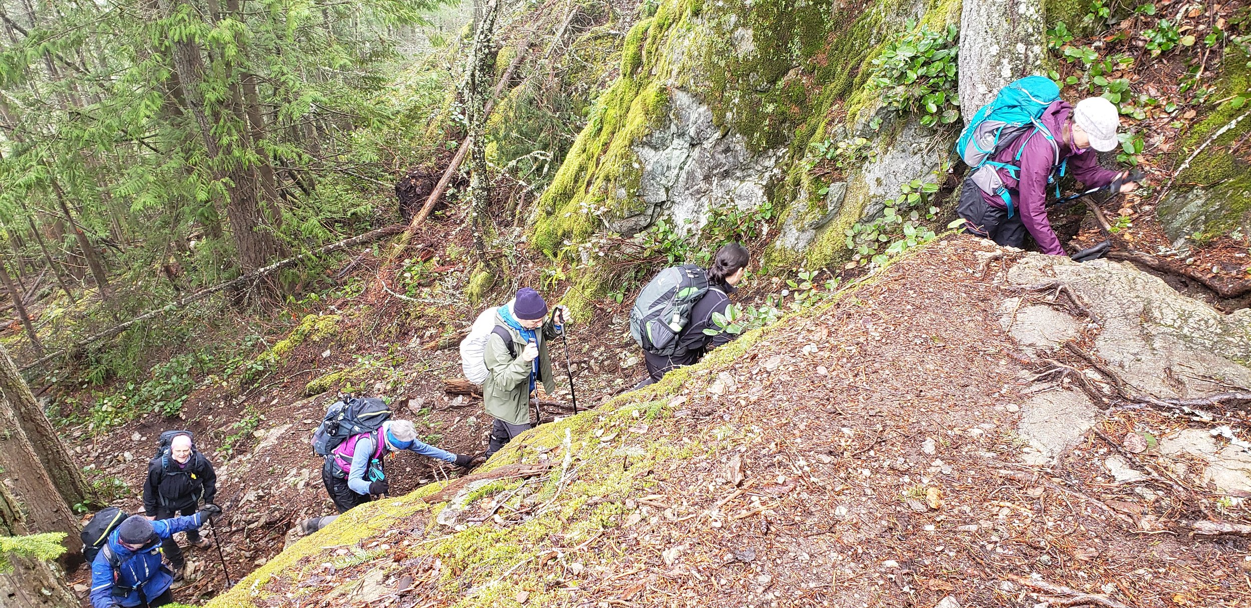
Such a beautiful area to explore with many viewpoints of the surrounding area and mountains. It was an overcast day but every so often we were able to get a glimpse of the Chief and other peaks, including my plan “A” hike…Anif Peak. Uphill and downhill we hiked, crossed a couple of small bridges, walked the boardwalks. We hiked for about 7 – 8km RT but with the network of trails you good easily add several more kms.
I decided to hike this trail counterclockwise so as to get the steep section over with first and coming down would have been quite slippery. Thankfully the rain held off and we had a leisurely lunch on Mt. Crumpit.
Only saw 3 other people, 2 bikes, 1 dog and a Grouse. I am definitely going to do this hike again and explore the other trails but hopefully on a sunny day.
Maya’s GPX Route and Iain’s Garmin GPSMAP66sr route is here