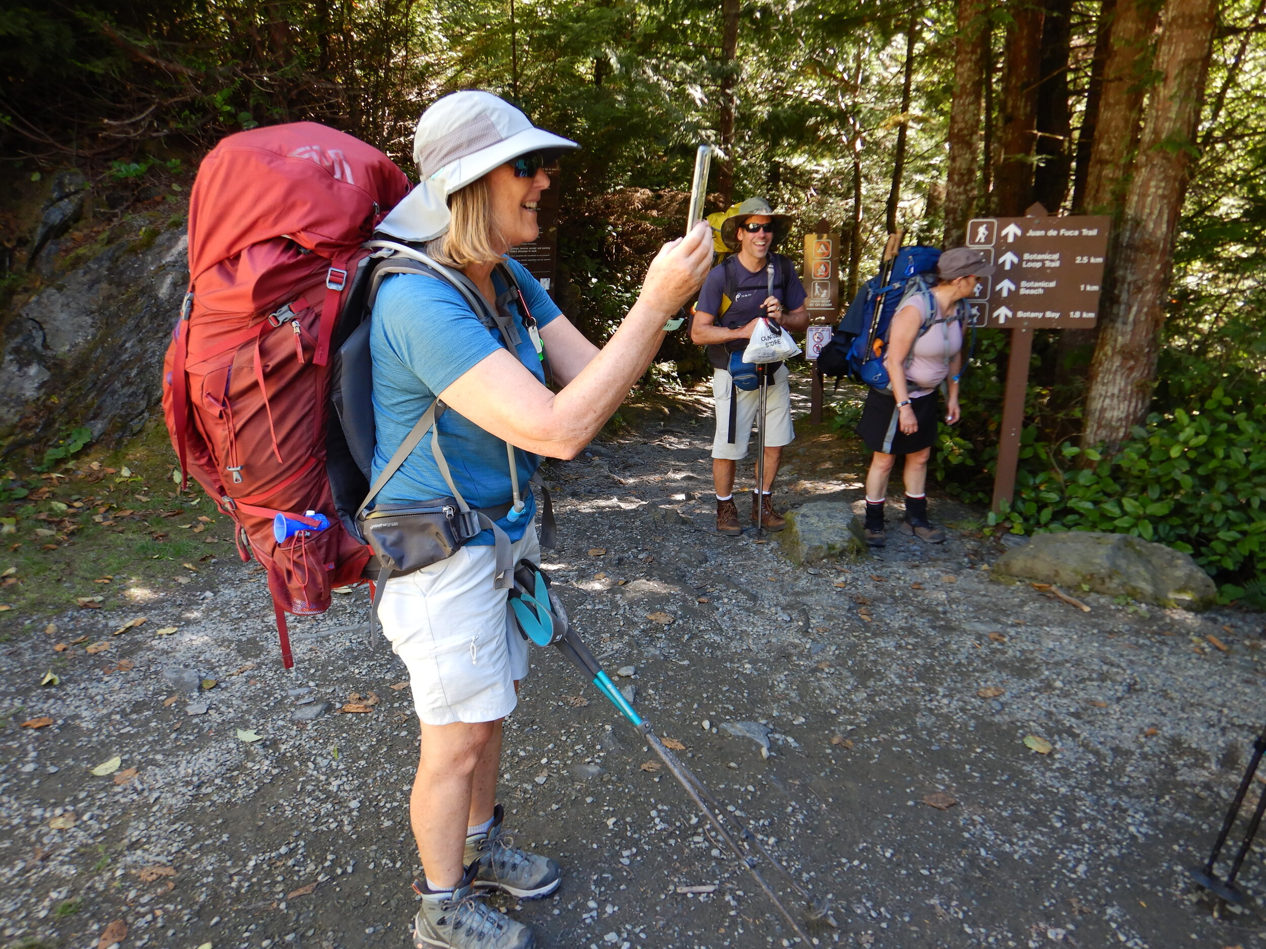
Juan de Fuca Trail
Five of us, Louise, Maya, Alex, Tamsin and Iain, set out on the 0700 ferry from Tsawwassen over to the island on Wednesday August 11th. This trip, to backpack the Juan de Fuca trail, was arranged at short notice by Louise when Manning Park became untenable due to wildfires which rolled right through the campsites that were planned to be used.
After some roadworks delays and shuffling of cars so as to have one at each end of the trail, we set off. We were doing the trip from north to south, it’s more common to do it the other way round but we wanted to have lighter packs for what was described as the most difficult section of the trail.

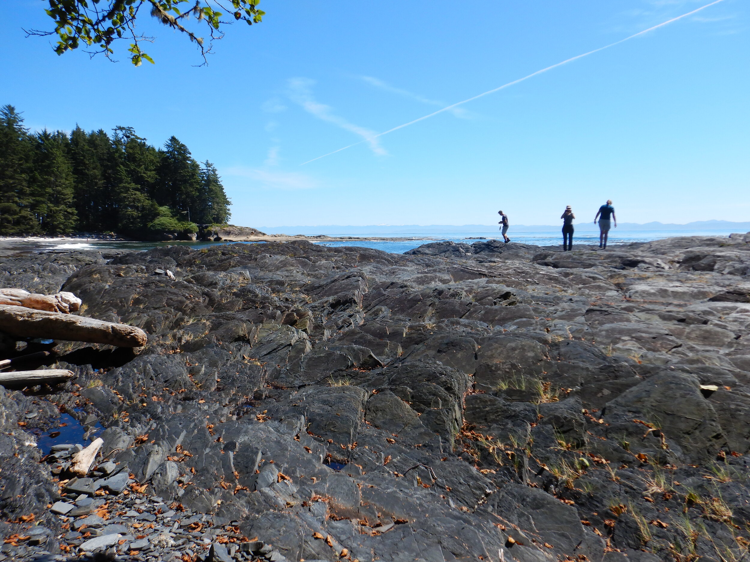
We had planned five days hiking with four nights’ camping. Apart from Payzant, which was a very pleasant forested site, all the other campsites were on the beach. All the campsites were lovely and we were always able to get all four tents into the same area. Payzant was the quietest site, us and one other group of two people.
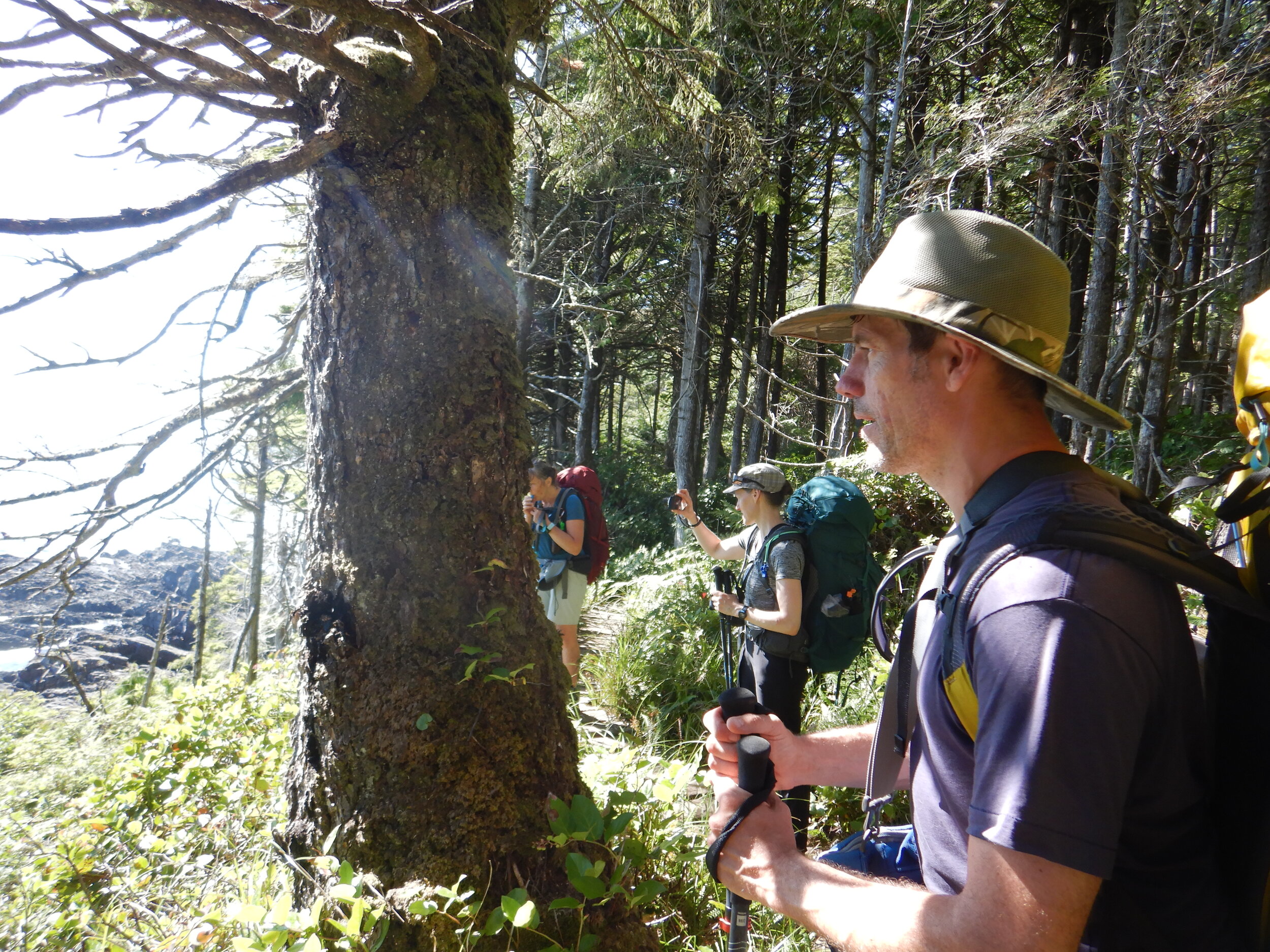
This was a difficult few days because of the trail conditions, lots of steps, muddy bits and clambering over/under/around huge log obstacles, roots. It wasn’t as bad as previous campers had reported, largely because of the extended dry spell that we’ve had in BC, nevertheless there were some boot sucking moments in the deeper mud.
There were waterfalls including a spectacular one on East Sombrio beach, inside a cave. This was also our water source. Overall the water was good and plentiful, five people in hot weather use a lot of water, so our early evening /late afternoon arrivals were busy with pumping and filtering water.
Managing the route was complicated by the tides and, if anybody is wondering, Parks Canada do not allow any slack on the tidal heights where crossing is safe. Don’t think you can turn up five minutes late, because you can’t. When time is tight you need to be good at scrambling around rocky headlands. There are alternatives for all but one tidal crossing but these seem to be far less well used than the beach routes and we almost got lost in one densely overgrown section, we were not the only ones. That route also required a pretty exciting descent down a rope to get back to the beach. Chin to Bear was supposed to be the difficult section but none of us found it to be as bad as advertised, we just kept on keeping on.
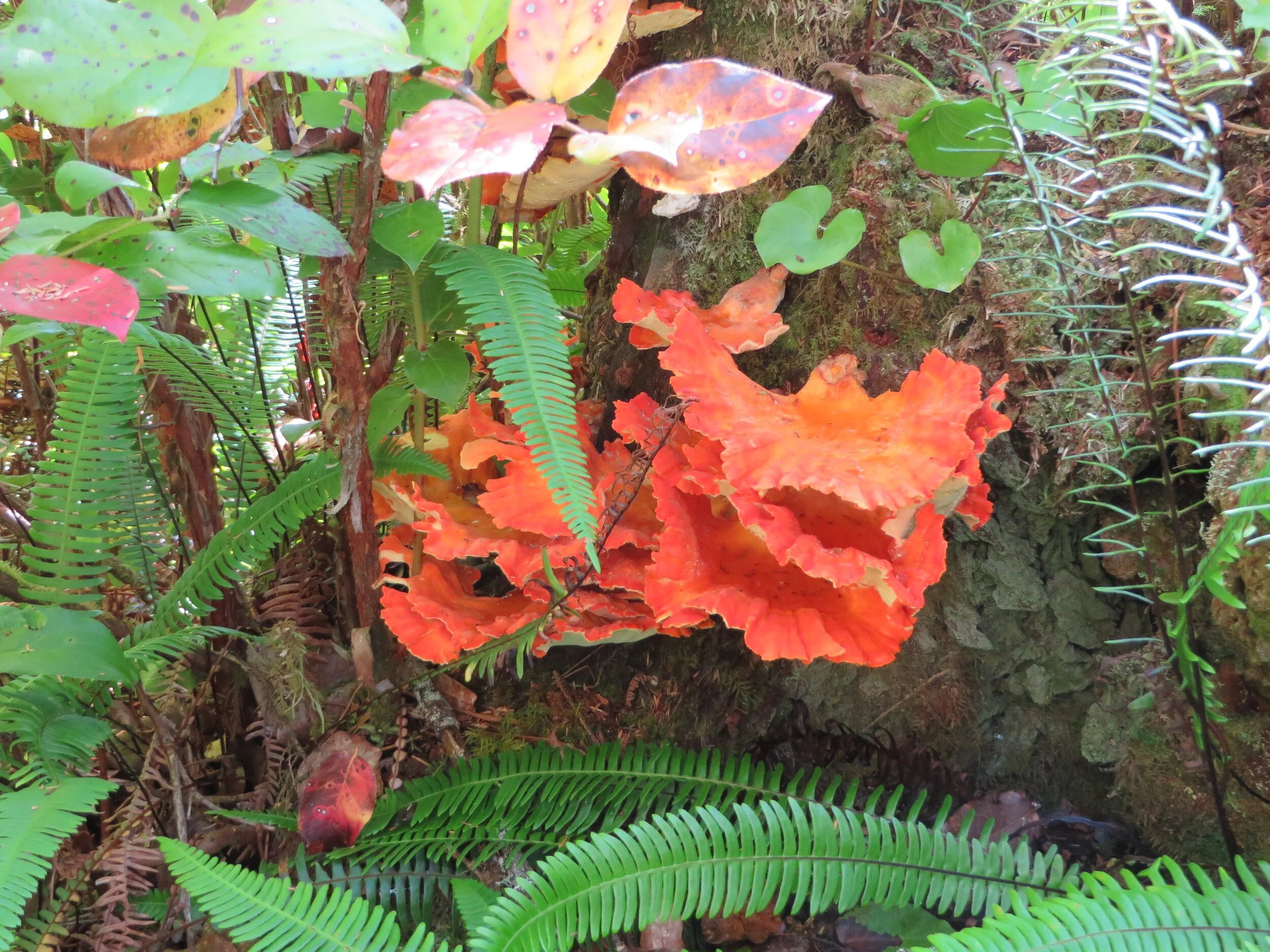
For wild life we saw sea otters aplenty as well as frogs, snakes and eagles, lots of fabulous fungi too. Otter footprints in the sand were another treat. The waterside campsites were just incredible, absolutely living the BC dream and very comfortable to sleep on the sand. There were a lot of families doing the trip, including one with four highly organised children (or maybe it was the adults that were organised), they seemed to be having the time of their lives. Another family with two girls were just taking it easy and getting through the hike with lots of breaks.
We emerged from this trip fully in the rhythm of the sun, stars and the sea, how quickly we adapt. The weather was perfect, the warmest I’ve ever been camping. We were all battered and bruised, scraped and grazed but we just had the best time on this adventure.